About Roaring River State Park

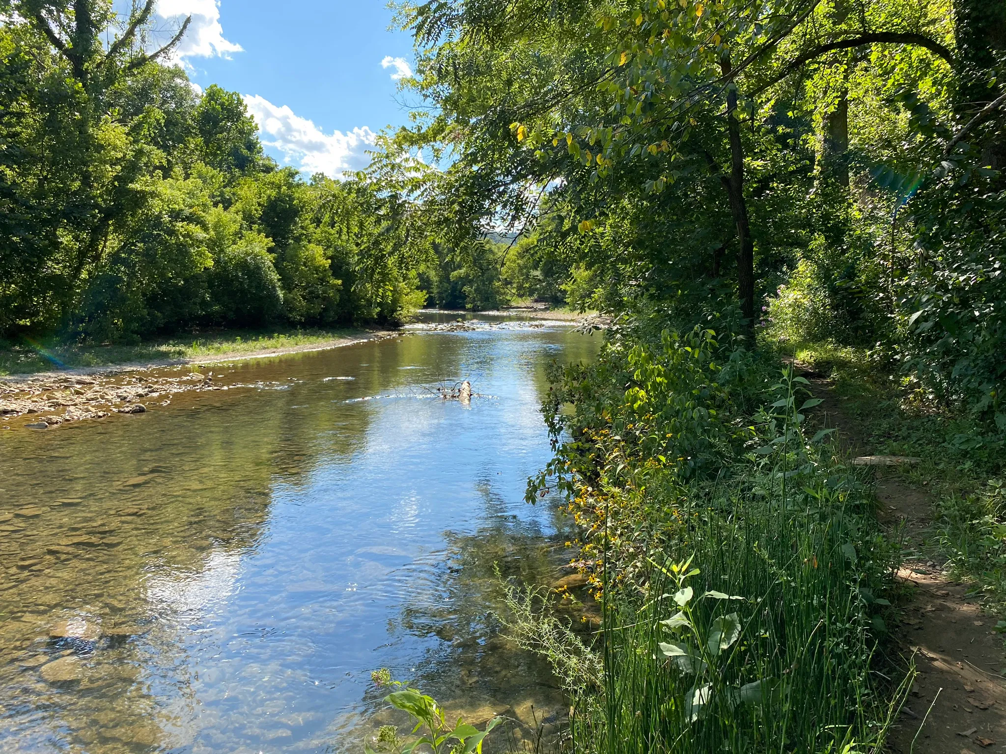
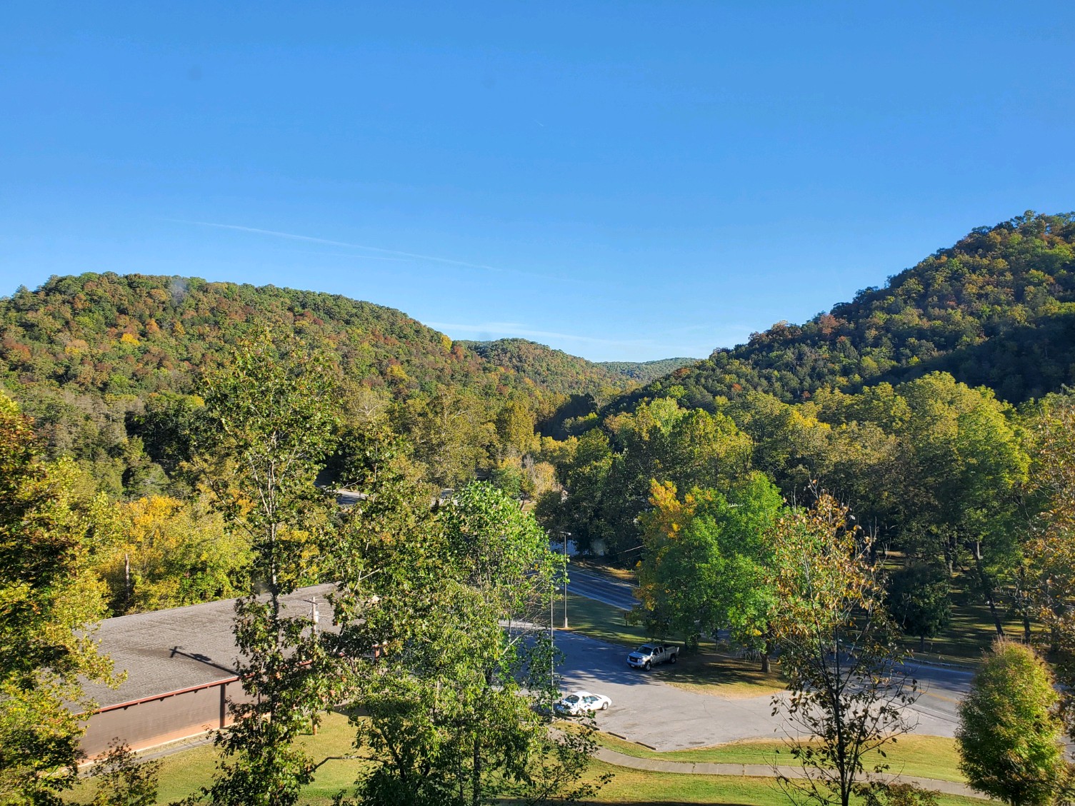
The Beautiful Roaring River State Park
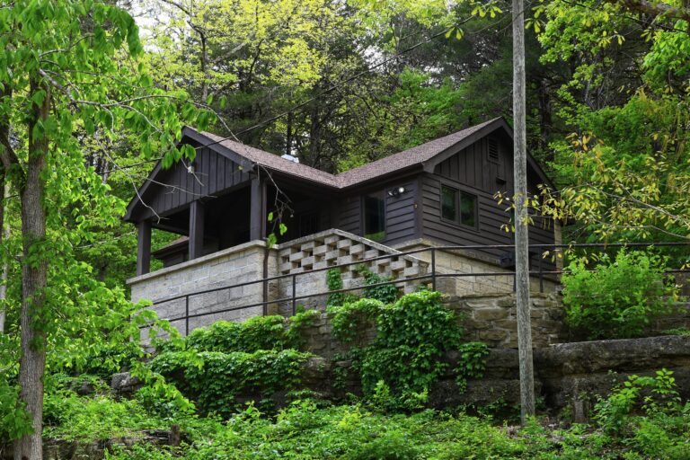
The rugged and scenic landscape of Roaring River State Park paints a colorful setting for much of the intriguing history and folklore associated with the Ozark hills. With its deep, narrow valley, mountain like terrain and deep blue spring, the park’s natural beauty is breathtaking.

Over thousands of years, the White River cut into the flat plateau, creating deep, steep-walled valleys and exposing an unusual variety of rock formations for such a small area. The area’s geology and rugged landscape influence the growth of more than 600 species of plants in Roaring River State Park, many of which cannot be found in any other region of the state.

History

In the early 1800s, settlers discovered the beauty of the Ozarks and cabins began to dot the hills. By the outbreak of the Civil War, the Roaring River valley was an established community. The canyon like gorges near the river provided excellent hideouts for Civil War bushwhackers.

By the early 1900s, Roaring River had been discovered as an ideal place for fishing retreats. In 1928, Thomas Sayman, a St. Louis businessman, bought 2,400 acres surrounding the river and, within a month, donated the land to the state. Many of the park’s existing facilities were built by the Civilian Conservation Corps (CCC) in the 1930s, including some of the buildings that make up Camp Smokey, the park’s organized group camp. Today, the Missouri Department of Natural Resources administers the park.

Directions and Park Maps

Roaring River State Park is a large park with many attractions, trails and campgrounds. Below are our Park Maps to help guide you through the beautiful Roaring River State Park.

Park Map Hiking Trails Map

Get in touch

Contact us with any questions, comments or concerns.